Welcome to the education page for Atlas of the Invisible!
When it comes to teaching maps, graphics and data skills you can never have too many good examples to inspire the next generation of geographers, cartographers and data scientists – we need them more than ever to help make sense of our increasingly complex and challenging world.
I wanted Atlas of the Invisible to provide just a few of those examples that’s why I teamed up with three brilliant educators and Geographical Association consultants – Catherine Owen, Kit Rackley and Paul Turner – to put together these materials with them.
Using these materials
The resources available here are designed to complement Atlas of the Invisible so are best viewed alongside a copy of that.
The method of delivery includes worksheets, slides and videos, you are encouraged to pick, choose and edit the best bits for the year group you are teaching. The website content is also available in Google Docs to help you edit/ create your own versions as well as print and share in the classroom. Links are supplied at the top of each resource.
The content here is free to use and repurpose under a CC-BY-NC license (images are Copyright Atlas of the Invisible). Please credit materials as ‘Atlas of the Invisible education resources available from jcheshire.com‘.
I’d love to hear how you are using them so please email or Tweet me.
Contents
- What do we mean by ‘invisible’?
- Lesson packs – ready to use resources with guided reading, introductory concepts and discussion points.
- Taking action – resources to inspire change.
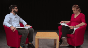
- Behind the maps – James is interviewed about some of the themes behind his work.

