Skip to content
James Cheshire
About
Blog
Teaching
Papers
Tag:
Map
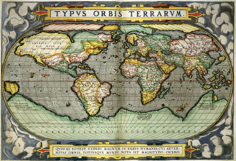
The Ultimate Gift List for Map Lovers
Nov 18, 2017
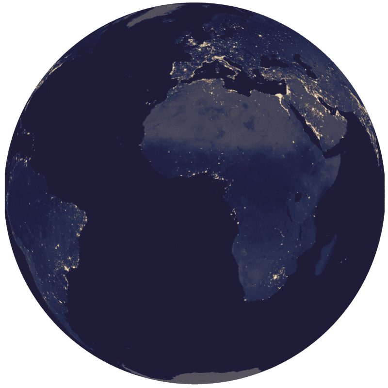
Spinning Globes With R
May 16, 2017
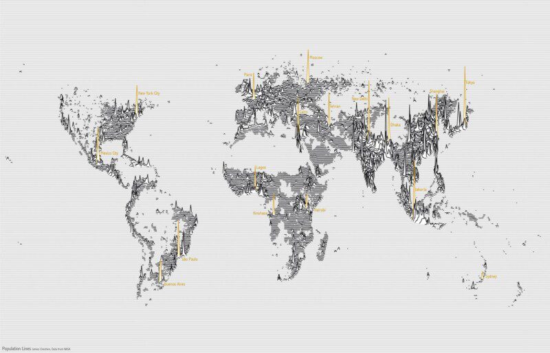
Population Lines: How and Why I Created It
Apr 27, 2017
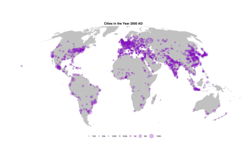
Mapping 5,000 Years of City Growth
Mar 6, 2017
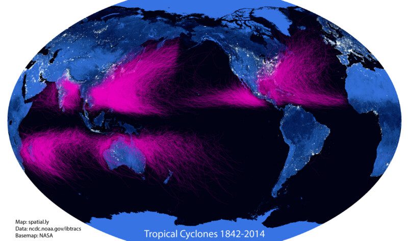
#15MinuteMap: Tropical Cyclone Tracks 1842-2014
Jul 15, 2015
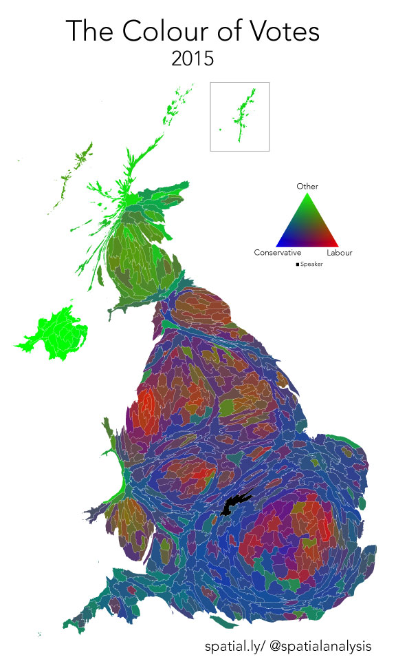
Colour of Votes: 2015 General Election
May 9, 2015
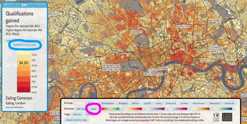
DataShine Update
Nov 6, 2014
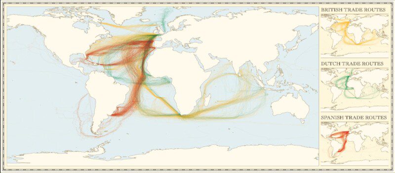
Updated: Colonial Shipping Routes
Jun 26, 2013
Mapped: London's Fire Engine Callouts
Jun 3, 2013
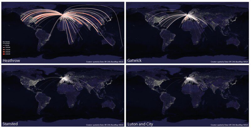
What's so Great About a World Flight Paths Map?
May 30, 2013
1
2
Next Page