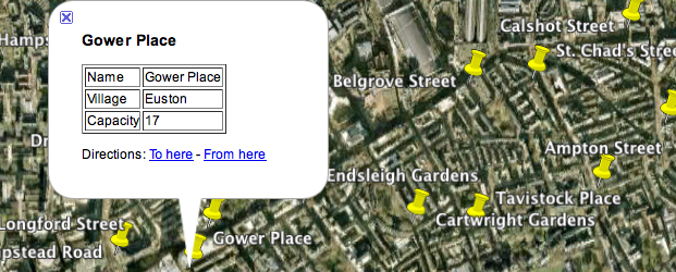
Google Earth has become a popular way of disseminating spatial data. KML is the data format required to do this. It is possible to load almost any type of spatial data format into R and export it as a KML file. In my experience R seems much quicker at doing this than many well-known GIS platforms, such as ArcGIS. The worksheet below explains how.
Data and Package Requirements:
London Cycle Hire Locations. Download.
Install the following packages (if you haven’t already done so):
maptools, rgdal (Mac users may wish to see here first).
Exporting KML from R

