All the DataShine websites (except DataShine Election) are derived from a common codebase and use the OpenLayers 3 mapping platform to display a full-window slippy map, with user controls and key overlaid.
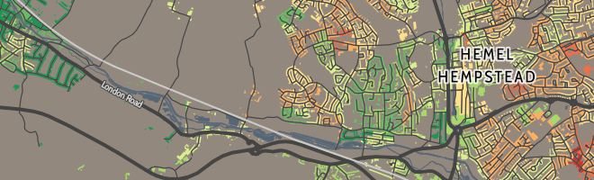
DataShine Census
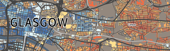
DataShine ScotlandCommissioned by the National Records of Scotland.
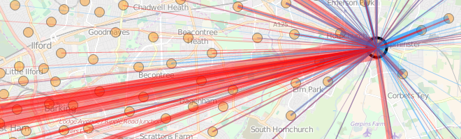
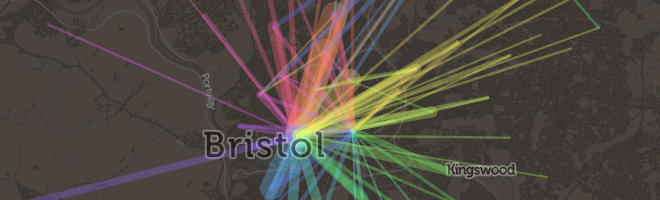
DataShine Commute
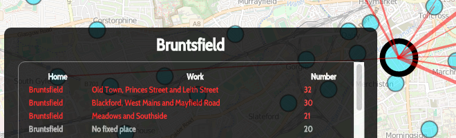
DataShine Scotland Commute. Commissioned by the National Records of Scotland.
DataShine Region Commute
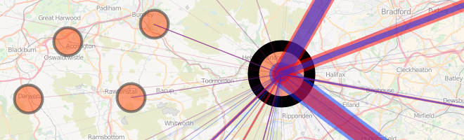
Great British Bike to Work
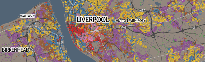
DataShine OAC
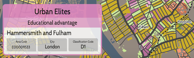
DataShine LOAC (for London)
DataShine COWZ-EW (for work)Commissioned by the University of Southampton.

DataShine Election
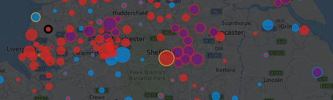
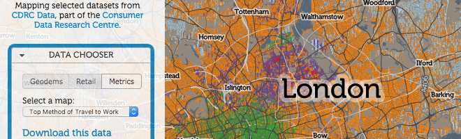
CDRC Maps Commissioned by the Consumer Data Research Centre.
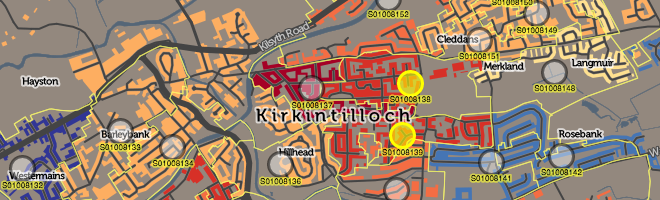
Scottish Index of Multiple Deprivation (SIMD) MapCommissioned by the Scottish Government.
Datashine: Mapping the UK Population

James Cheshire is Professor of Geographic Information and Cartography in the UCL Department of Geography and the inaugural director of the UCL Social Data Institute. A world-leading map maker and geographer, his cartographic creations have been enjoyed by millions.