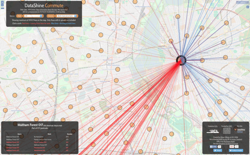
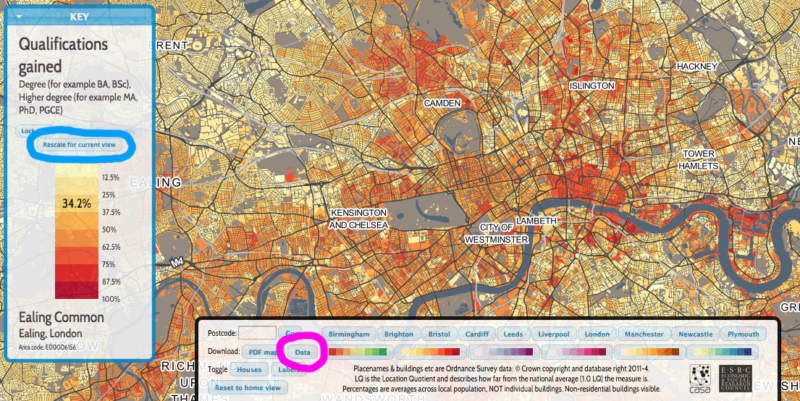
Datashine: Mapping the UK Population

All the DataShine websites (except DataShine Election) are derived from a common codebase and use the OpenLayers 3 mapping platform to display a full-window sli...

DataShine Update

Back in June Oliver O’Brien and I launched an interactive census map called DataShine. It has been hugely successful with a core of regular users in addit...