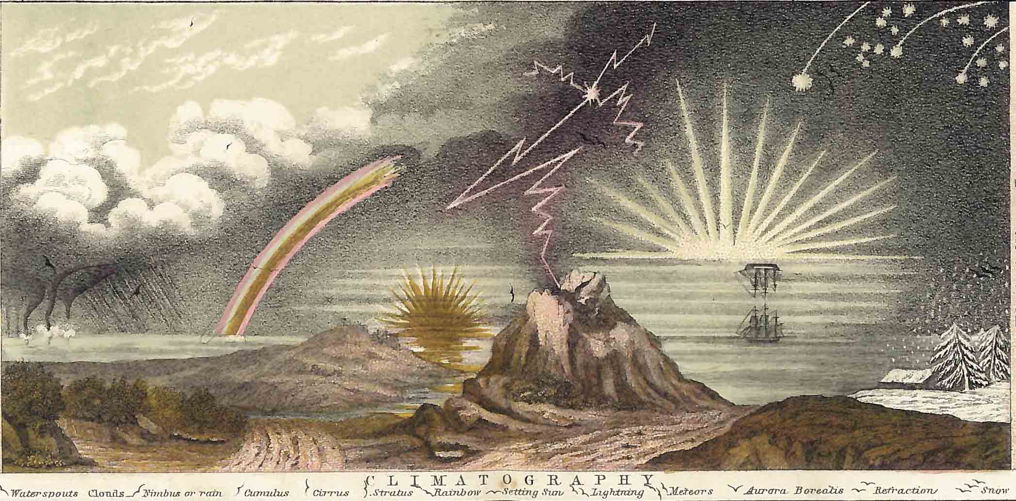
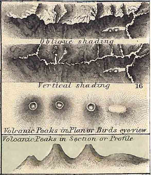
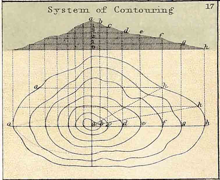
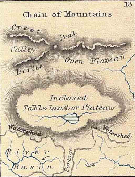
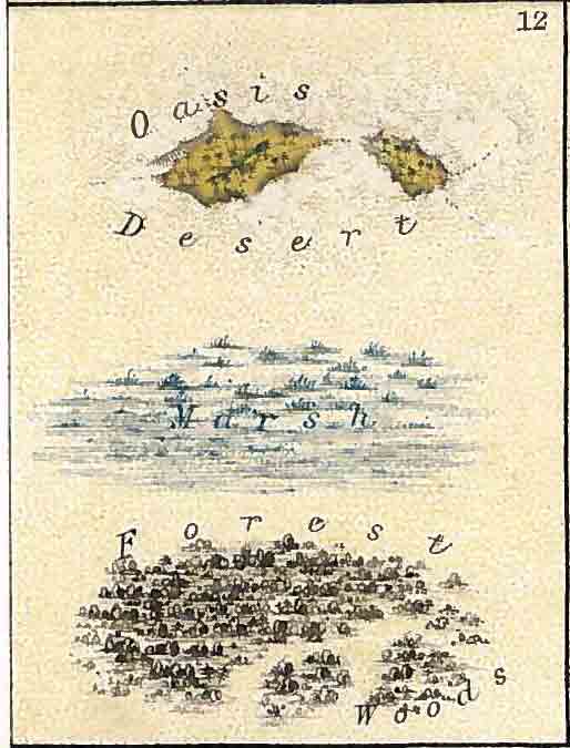
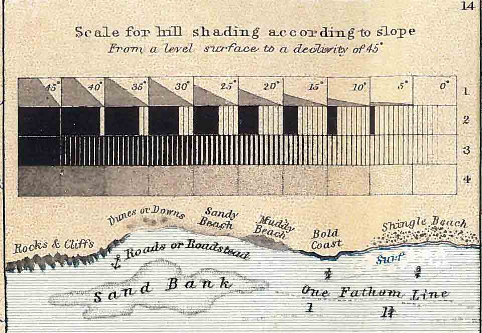
I discovered this on ebay last week and had to buy it. Entitled “Illustrations in Chartography” it shows a series of different cartographic (or chartographic?) techniques used in the “School Atlas of Physical Geography” by Alex K Johnston. You can see the full book here. It’s too good not to share.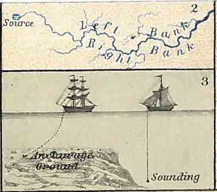
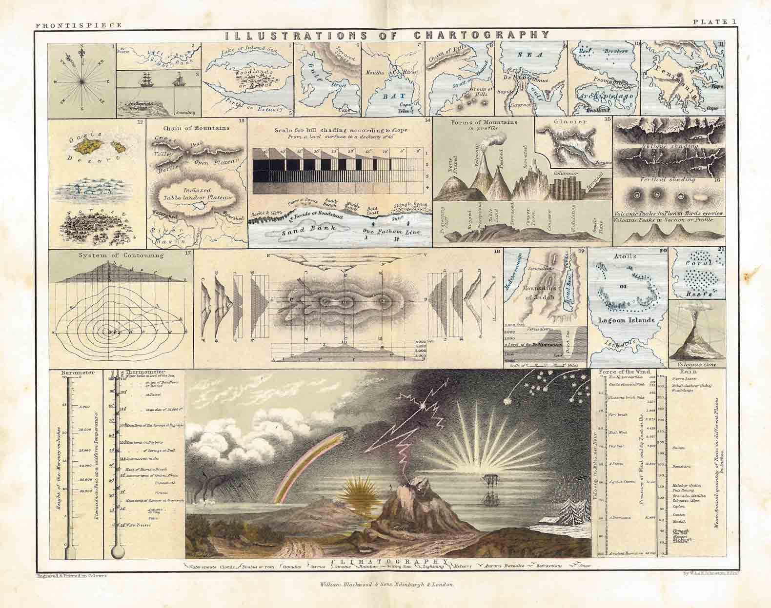
Illustrations of Chartography
Tags

James Cheshire is Professor of Geographic Information and Cartography in the UCL Department of Geography and the inaugural director of the UCL Social Data Institute. A world-leading map maker and geographer, his cartographic creations have been enjoyed by millions.